

4 Nâng Cấp Lớn cho DJI Osmo Action 3
23.03.2023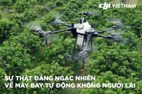
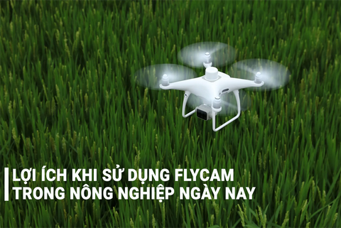


Drones are continually proving to be powerful commercial tools, simultaneously providing adopters with leaps in efficiency and safety. The surveying and mapping industry is no exception.
With their ability to capture data from above, drones have been successfully integrated into surveying workflows to perform land surveys, photogrammetry, 3D mapping, topographic surveying, and more.
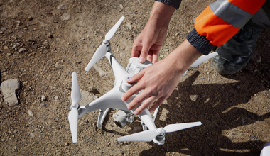
Whether you’re an experienced surveyor looking to expand your toolkit, or you’re a drone enthusiast who wants to know more ways to use their drone, or you’re just generally interested in this awesome application of drones, we’ve put together an article to help you learn everything you need to know when it comes to getting started with drone surveying.